October 21, 2017 - Flight to Vermont Part II
|
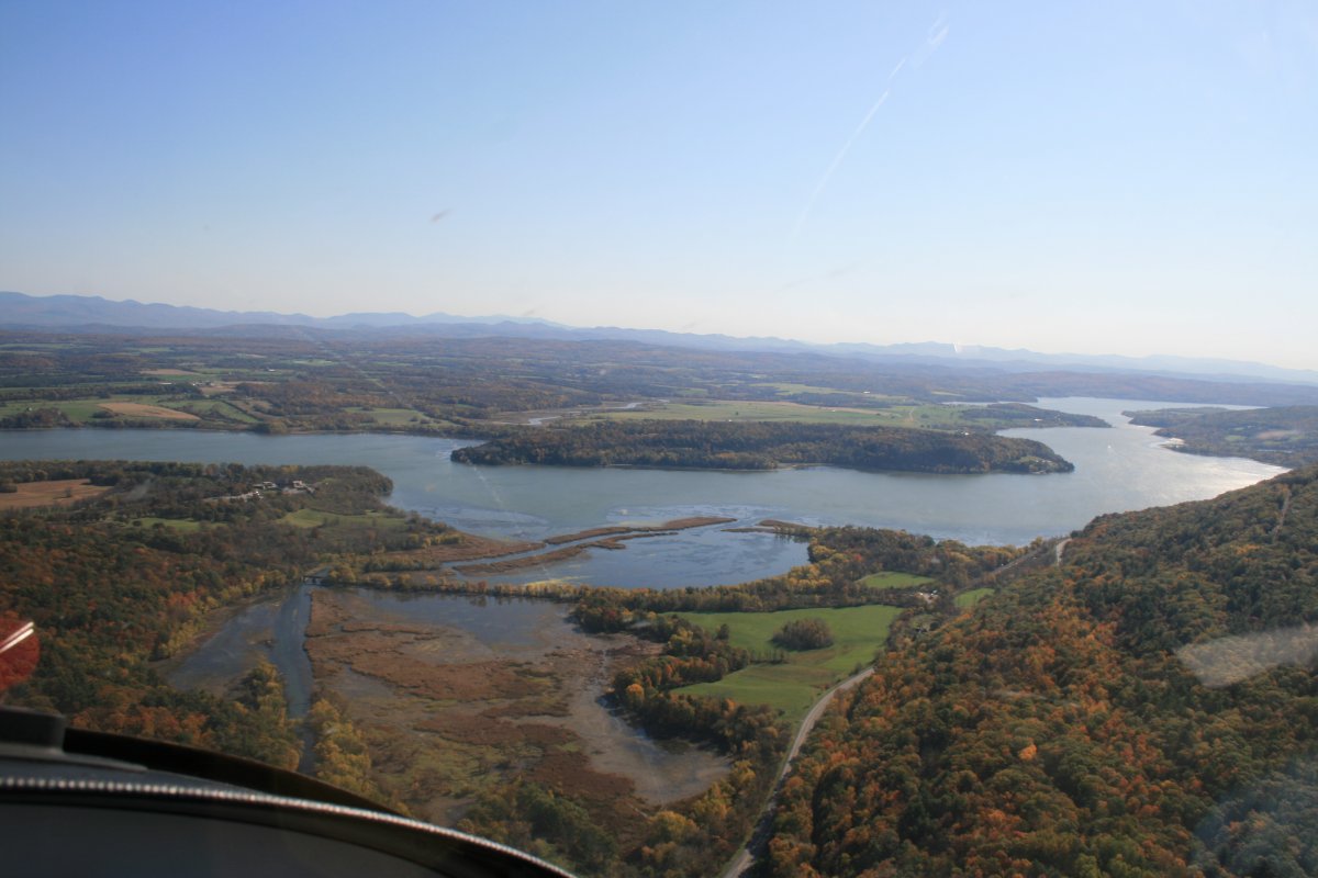
| At the top of Lake George was the town of Ticonderoga and just to the east is Fort Ticonderoga which is around the first third of Lake Champlain. The Fort is visible at center left. Lake Champlain is very narrow at that point; no ships are going past unless those in the Fort allow it. |
| |
 |
|
|
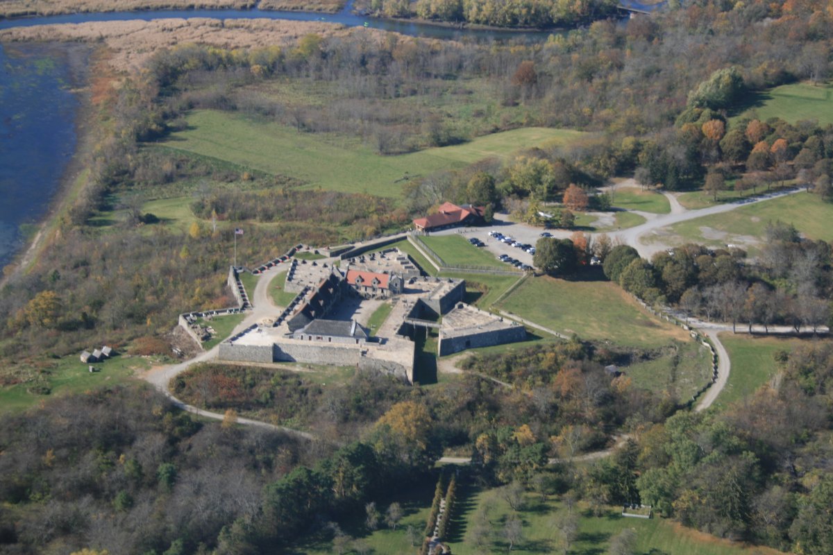
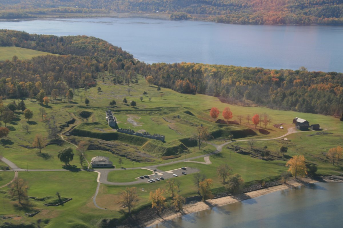
A close up of the very historical Fort Ticonderoga. It was a key piece of real estate in both the American Revolution and War of 1812.
|
| |
 |
|
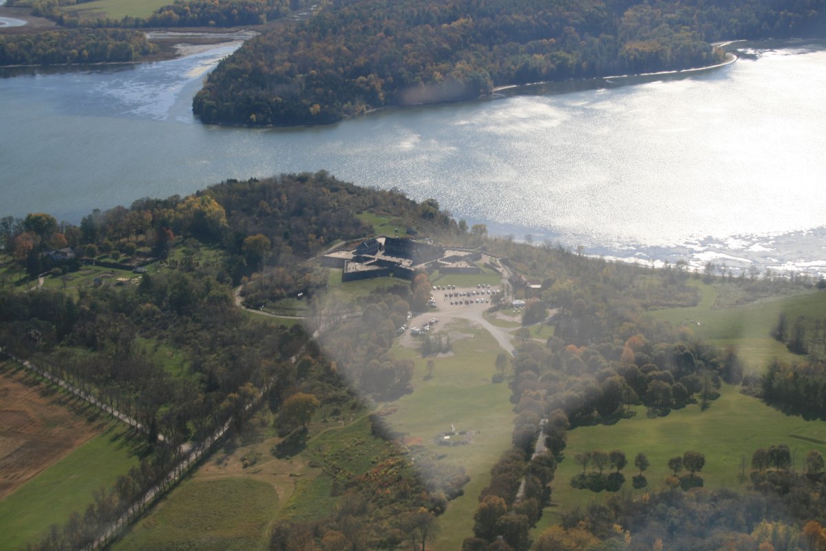
| Again, look how the Lake narrows at this point. |
| |
 |
|
|
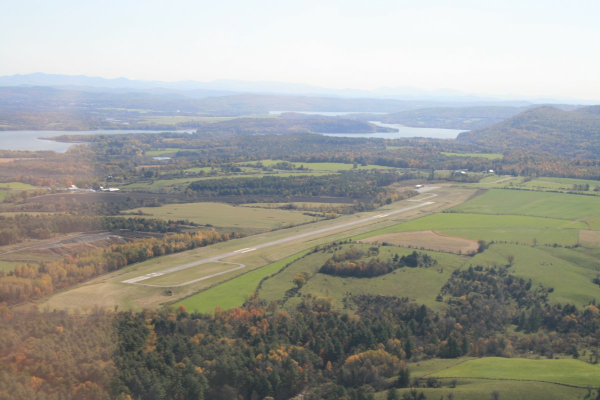
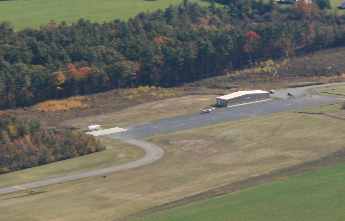
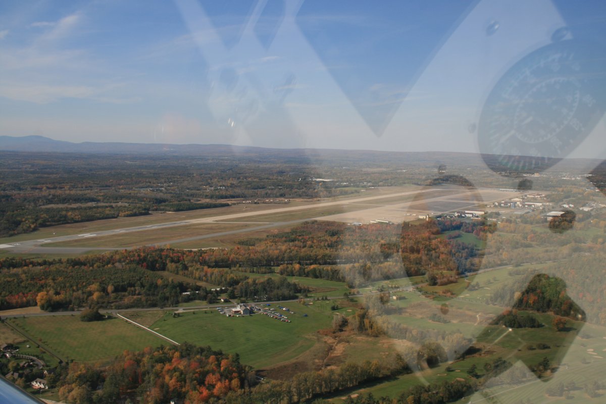
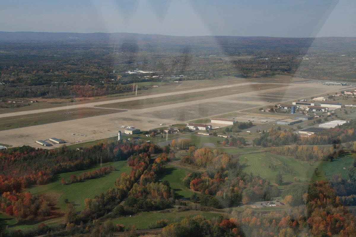
I'd been flying for three hours and was ready to take a break. I landed at Ticonderoga Airport where I knew the gas price was (relatively) low. I didn't know what to expect at this airport otherwise. The airport wasn't really close to the town.
|
| |
 |
|
| A Cessna 172 landed just ahead of me with a couple here to see not the Fort, but a replica of the Starship Enterprise Bridge, of all things! The airport had a pilot's lounge room at the end of the hangar but there was no restroom. The wife was not happy about that. The self-serve fuel pump to the left was very modern and worked fine. |
| |
 |
|
| I was soon on my way, heading due north up Lake Champlain. |
| |
 |
|
| |
| |
 |
|
|
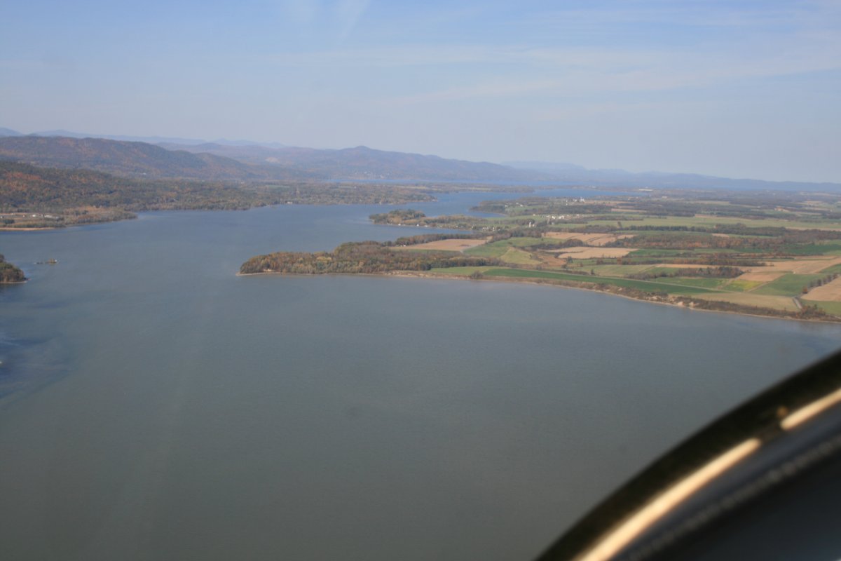
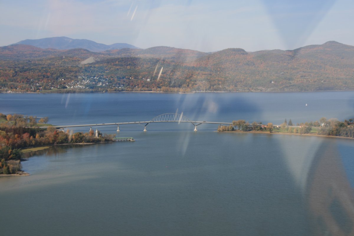
I came to another narrow point, this one with the Lake Champlain bridge across it. New York state is on the left side, and Vermont is on the right. The land on the left (south) is Crown Point. This would be another good place for a Fort, don't you think?
|
| |
 |
|
| And sure enough, there it is! On the left (south side) is what's left of Crown Point Fort. Again, no one is going through that straight unless the Fort allows it. |
| |
 |
|
|
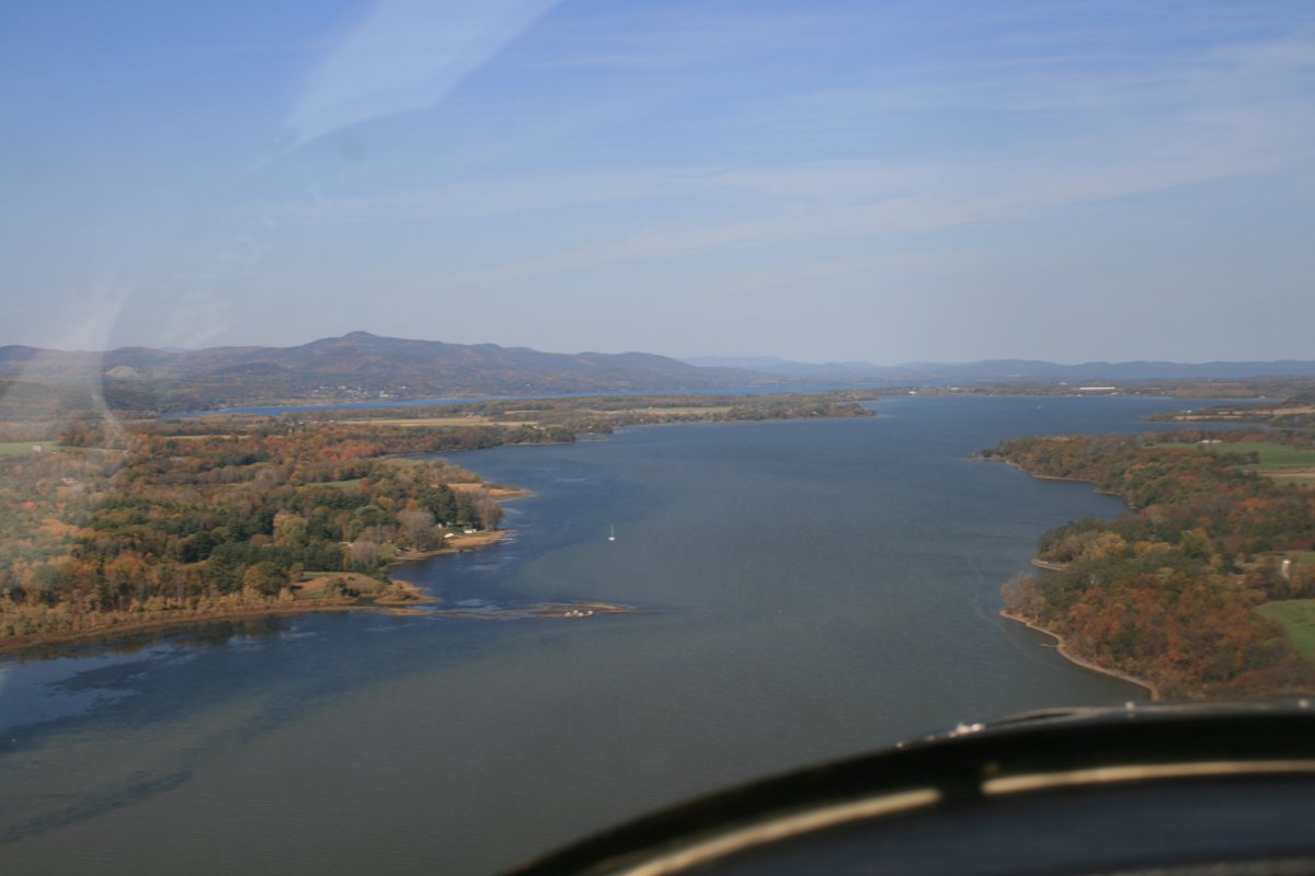
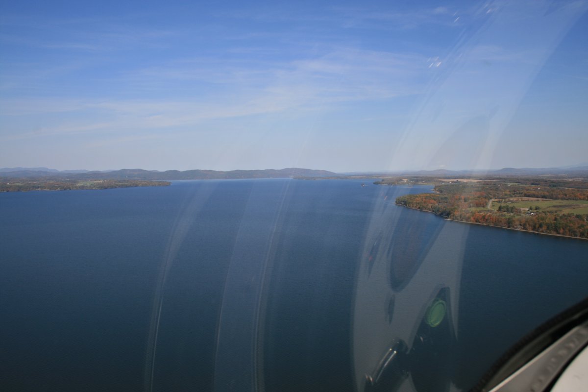
The Lake really opens up after Crown Point.
|
| |
 |
|
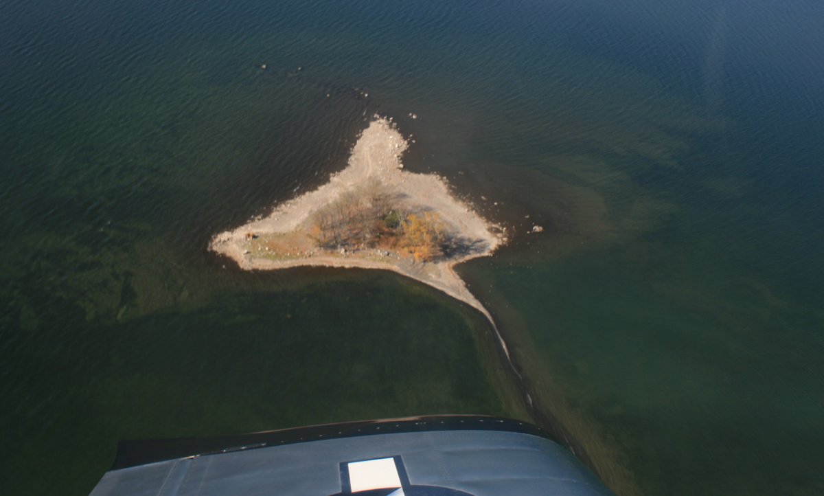
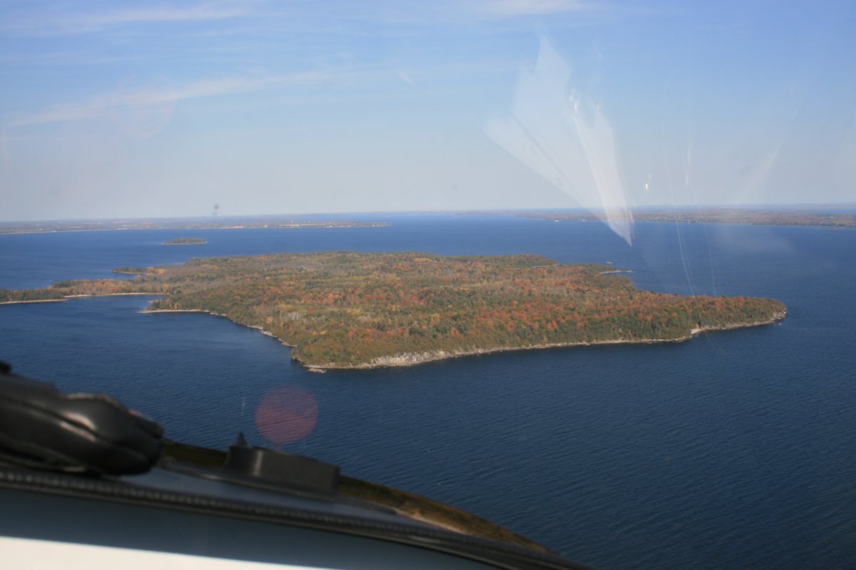
| This little island and the shallow water reminds me of flying in the Bahamas. |
| |
 |
|
|
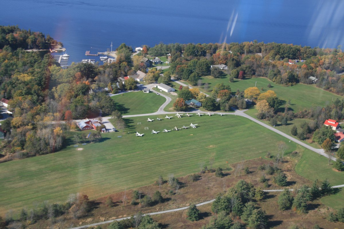
A very nice 3,000 foot grass runway airport on the east side of the lake. Basin Harbor airport. I would have liked to land and check it out, but I just didn't have the time.
|
| |
 |
|
| A closer look. Quite a few airplanes on the ramp. |
| |
 |
|
|
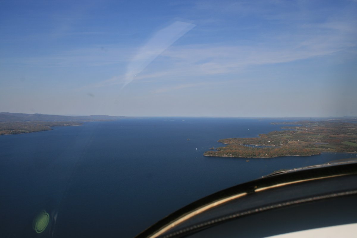
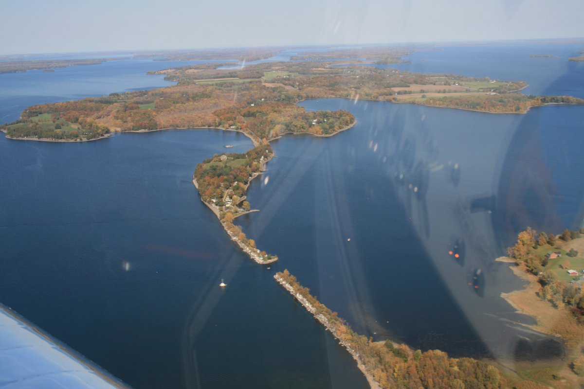
The Lake may look narrow on the map ...
|
| |
 |
|
| I moved over to the west side, prefering to remain within gliding distance of shore. |
| |
 |
|
|
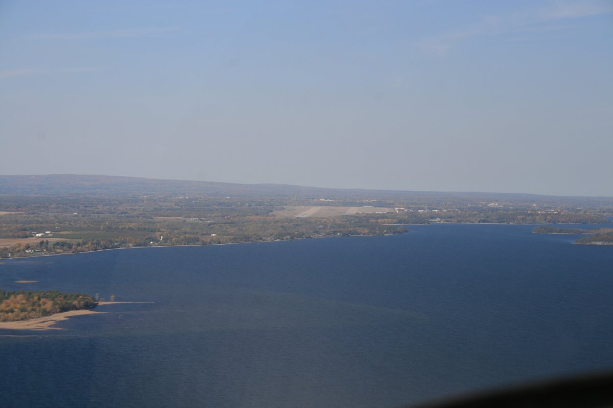
Ahead is Plattsburgh International Airport. I was aware that it used to be an Air Force Base. I mean, not too many general aviation airports have an 11,000 foot runway! It was a Strategic Air Command base as well as an alternate landing site for the Space Shuttle. The base closed 22 years ago.
Two important naval battles took place in the the water area straight ahead, one in 1776 (American Revolution) and one ins 1814 (War of 1812). We lost the first one but won the second.
The Vermont city of Burlington was opposite Plattsburg, across the lake. But they have an airport with Class C airport so I didn't go over there.
|
| |
 |
|
| Valcour Island. The two naval battles took place just to the west of Valcour Island. |
| |
 |
|
| I badly wanted to do a low pass down that long runway. But I was a good boy and continued on. There was no activity on the runway or in the pattern as I flew by. |
| |
 |
|
| That is the biggest Ramp -- airplane parking lot -- I have ever seen. |
| |
 |
|
|
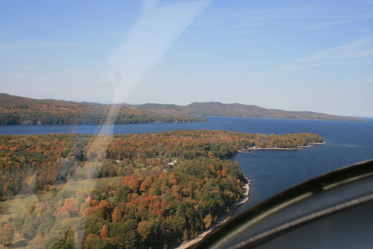
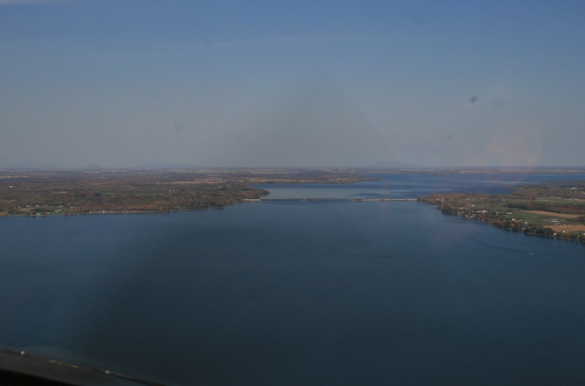
Continuing north, Lake Champlain is congested with many islands.
|
| |
 |
|
|
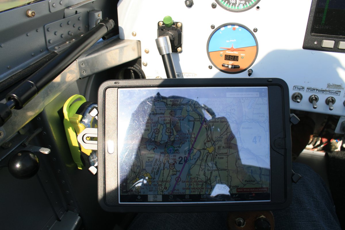
I've been gradually bringing the iPad with Foreflight software into the cockpit. I bought a neat mounting arm for it from MyGoFlight at AirVenture. I couldn't be holding the iPad in one hand and manipulating it with the other while flying the plane. The Foreflight software is great for flight planning and having fuel price information in flight. It's also very nice to see my position right on a sectional chart -- which is current, by the way. I also bought a Scout ADS-B In device from Foreflight at AirVenture but I haven't really evalauted the weather and traffic capabilities of it yet.
|
| |
 |
|
|
The top of Lake Champlain goes into Canada. I really didn't want to cross into Canadian airspace so I went no further than that bridge up ahead which is 2-3 miles south of the border.
At the bridge I turned east and headed toward the mountains, and foliage!
|
| |
 |
|
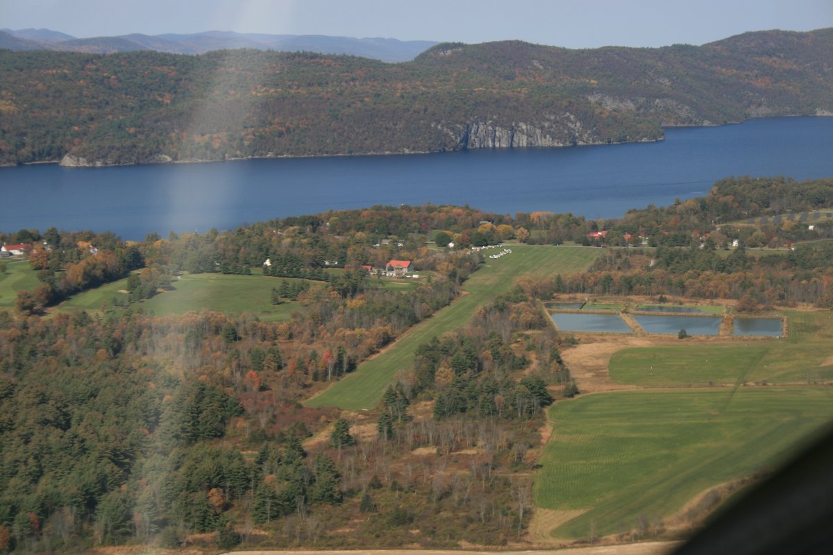
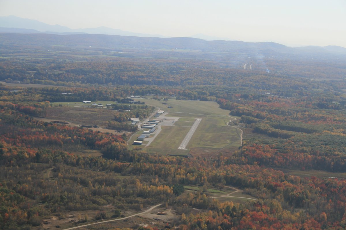
| Just a few miles east and south was Franklin County State Airport (KFSO). |
| |
 |
|
|
I passed over Interstate 89 and figured there would be a border crossing area on it. So I turned north until I saw it. Yep, there it is!
|
| |
 |
|
| I continued east towards the Green Mountains. |
| |
 |
|
| I started seeing some serious color relatively soon. I was surprised by how green the grass was. |
| |
 |
|
| Entering the foothills. |
| |
 |
|
|
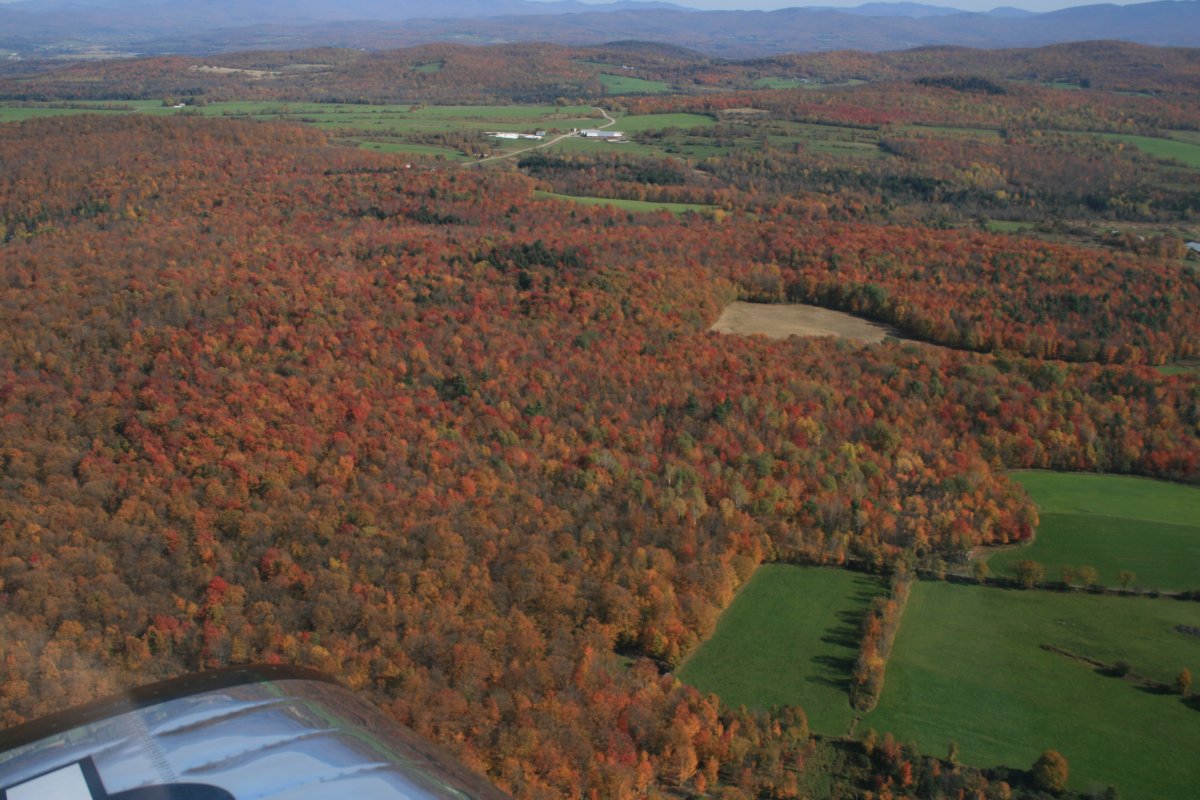
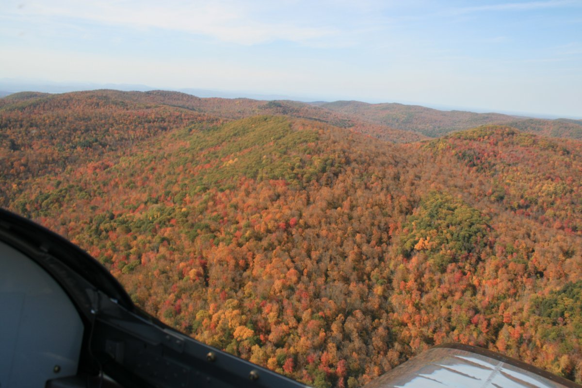
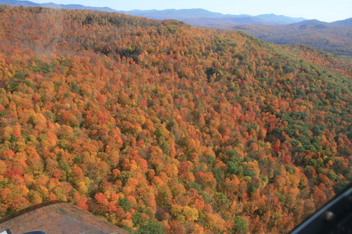
Yeah, this is what I'm looking for.
|
| |
 |
|
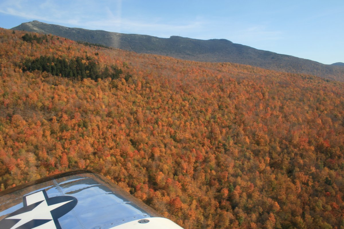
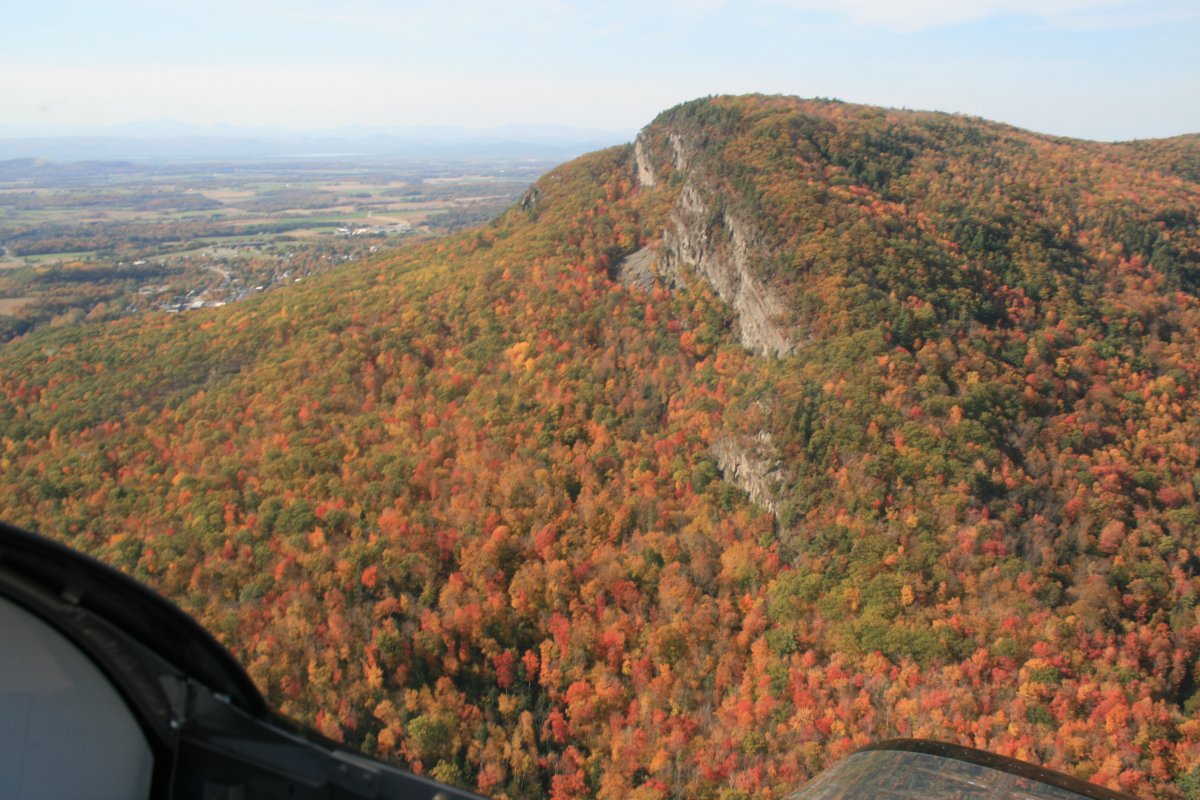
| That big mountain over there must be Mount Mansfield at 4,393 feet. |
| |
 |
|
|
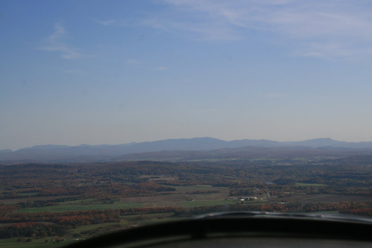
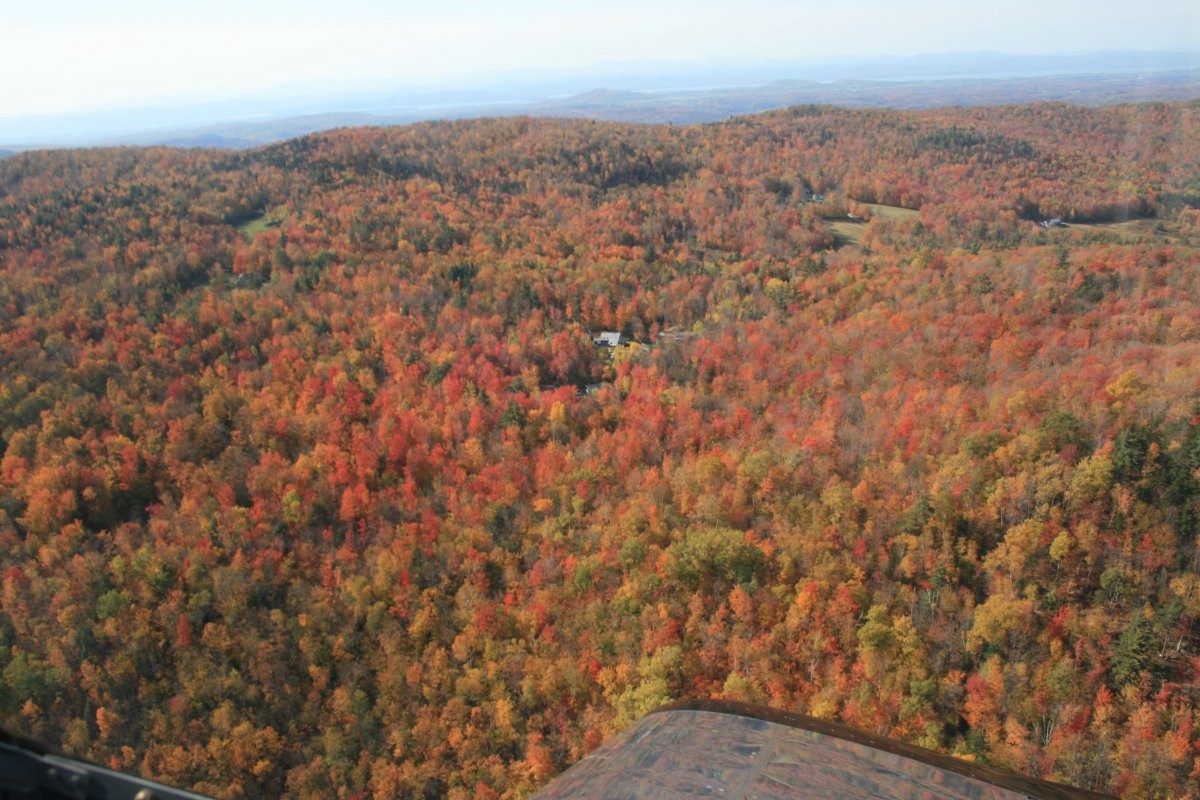
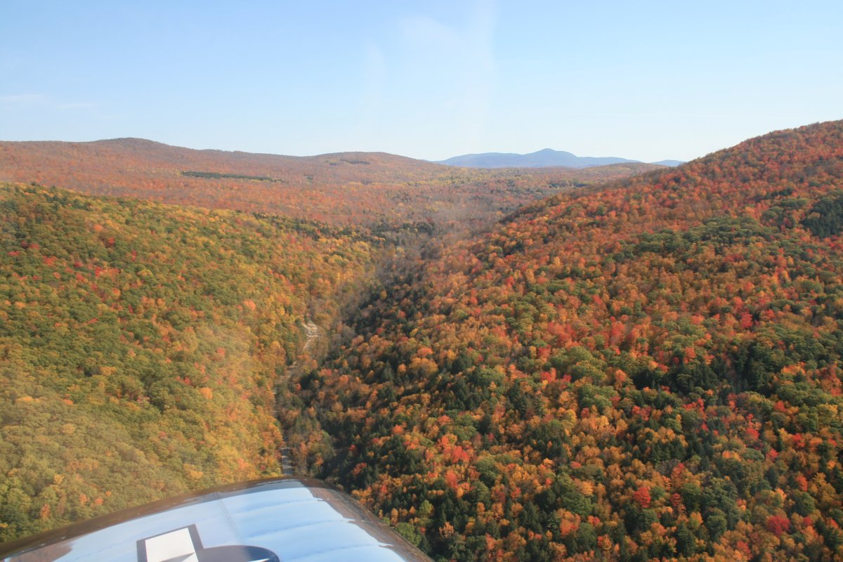
I just continued in a generally south direction, wherever the high color led me, while trying to avoid running into anything.
|
| |
 |
|
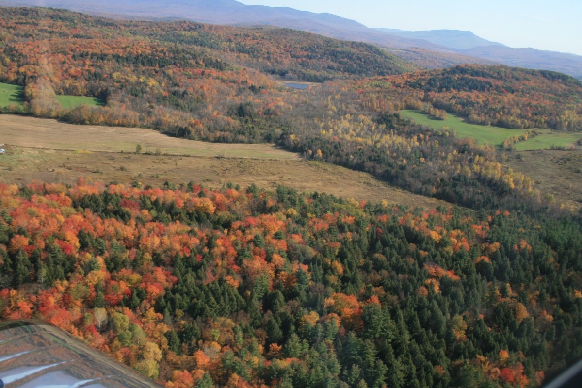
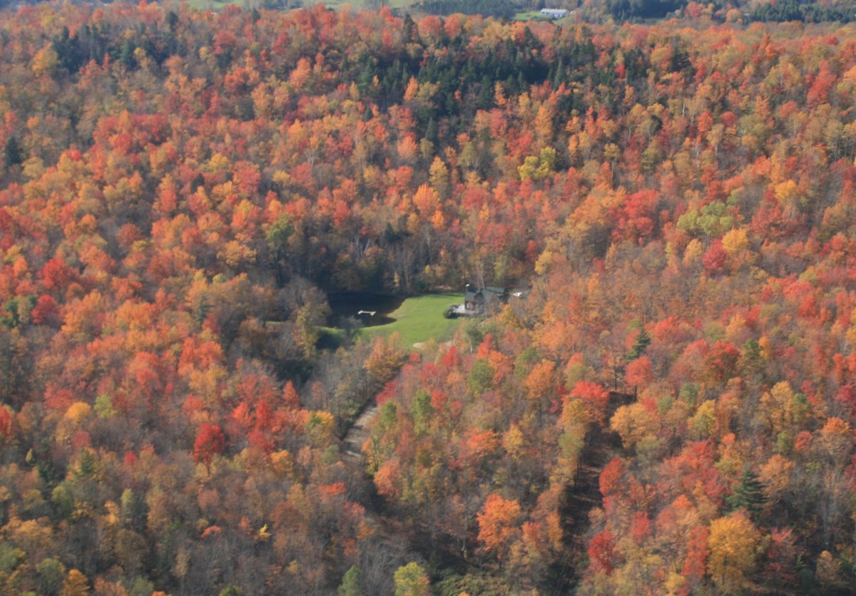
| For me, it doesn't get much better than this. |
| |
 |
|
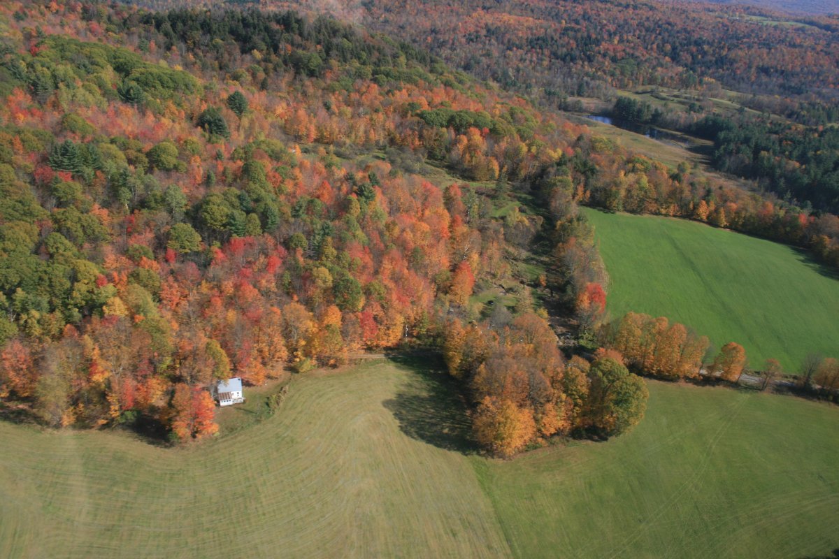
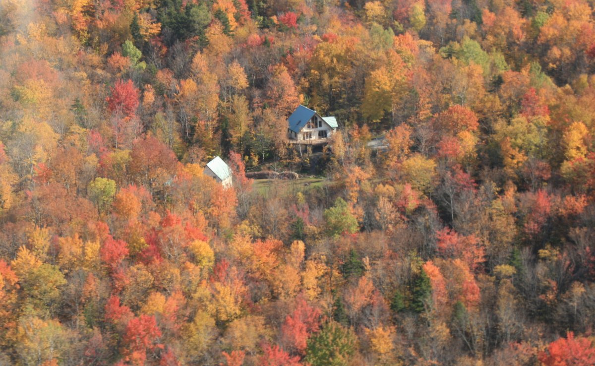
| What a view this guy has! |
| |
 |
|
| |
| |
 |
|
|
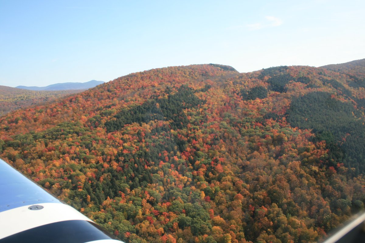
I think this is Bolton Valley Ski Resort.
|
| |
 |
|
| |
| |
 |
|
|
|
| |
 |
|
| |
| |
 |
|
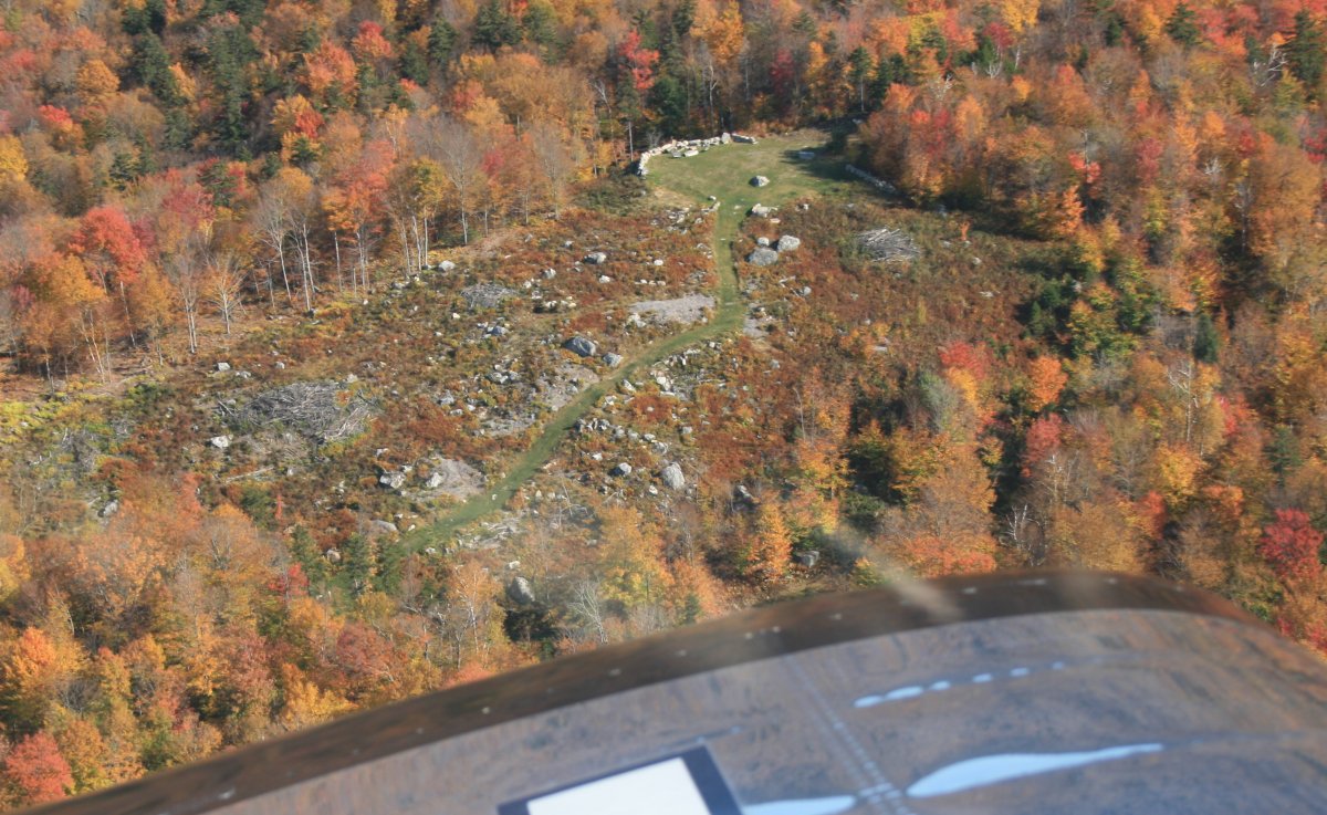
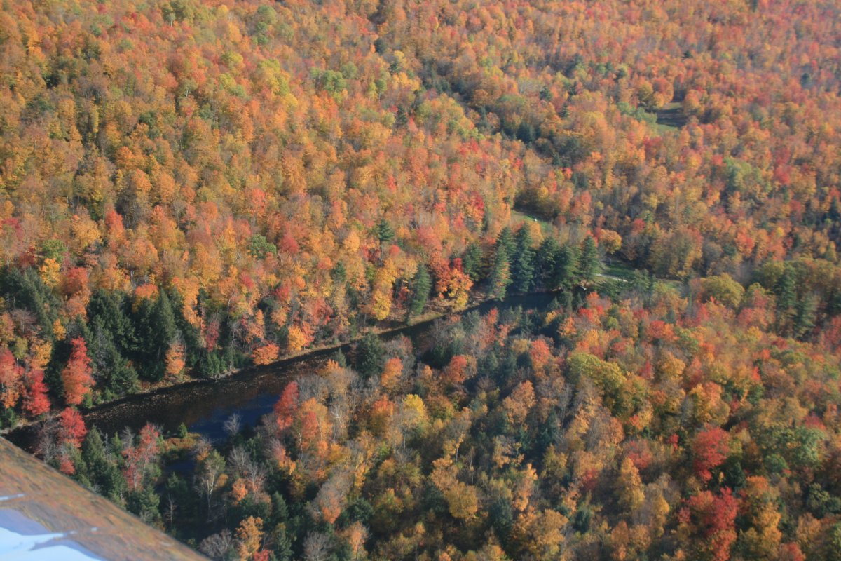
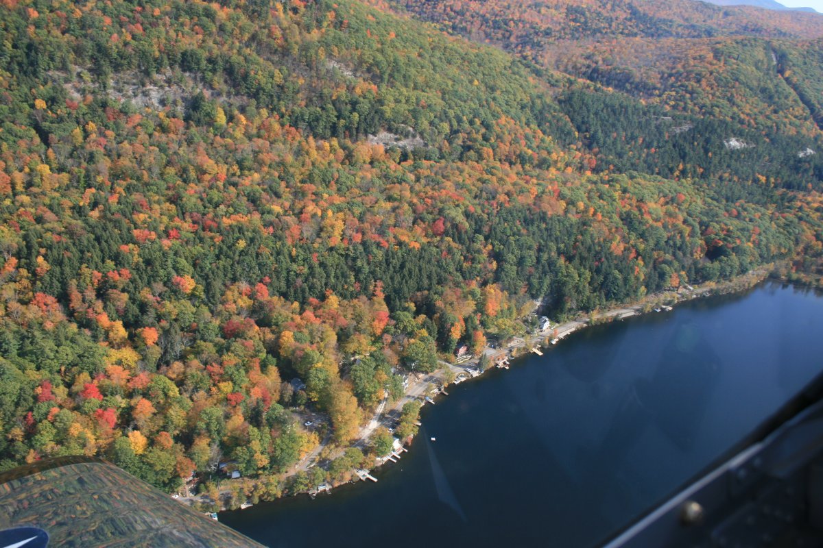
| Underneath those pretty trees is a lot of hard rock. |
| |
 |
|
| |
| |
 |
|
|
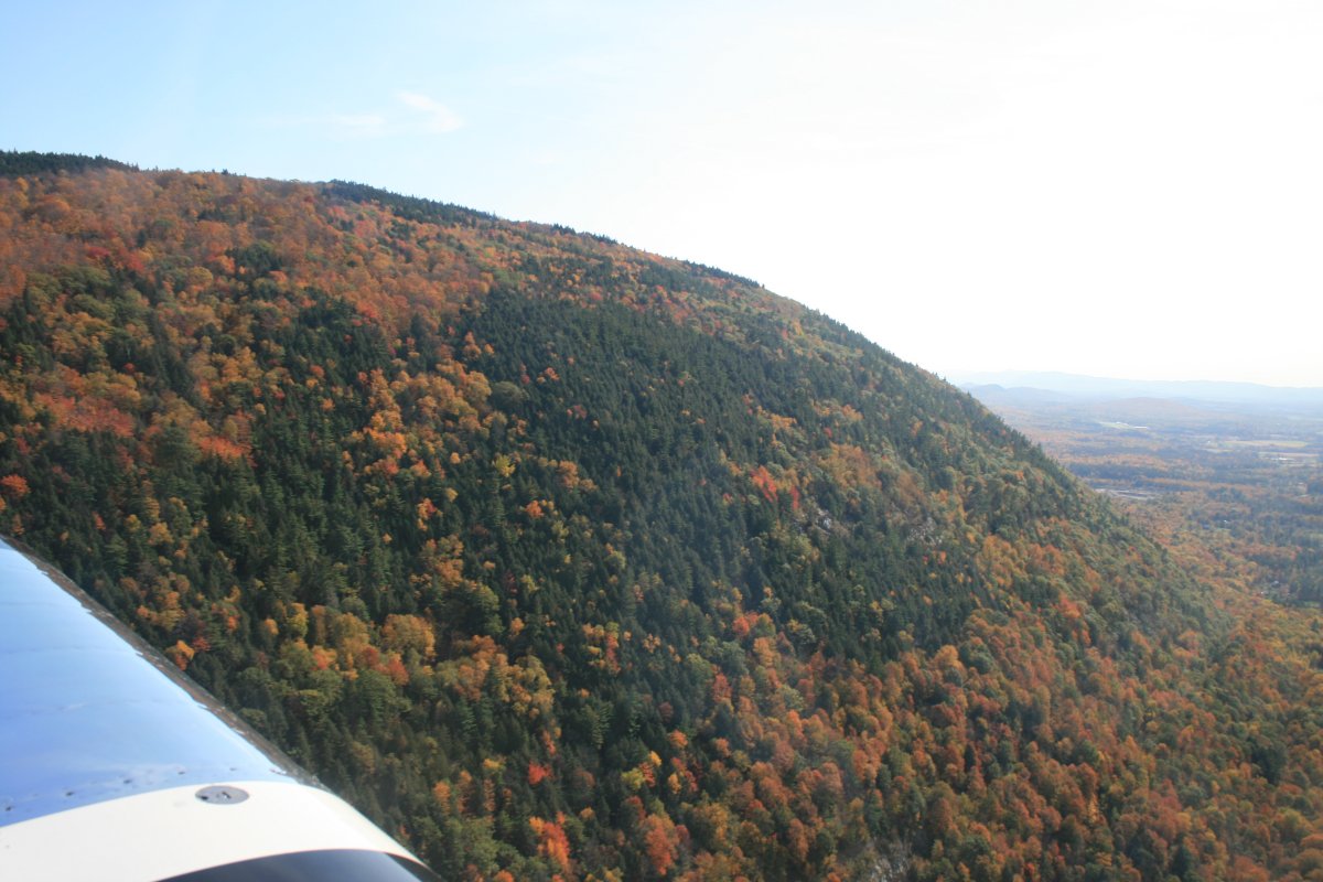
I was struck by how some groups of trees were dark green. Pine trees?
|
| |
 |
|
| This gigantic rock was striking because the trees were coming out of the ground at a 45 degree angle, or more. |
| |
 |
|
|
|
| |
 |
|
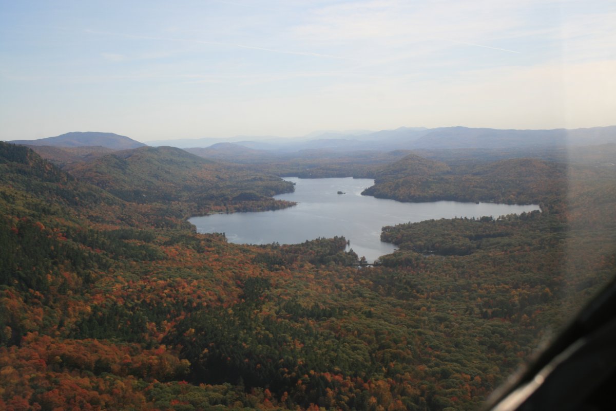
| I believe this is Lake Dunmore. |
| |
 |
|
| Better take a closer look. |
| |
 |
|
|
All too soon, it was time to head for home. It gets dark now at 6:30 or so and I had no desire to make a night landing at Essex Skypark. I was over 400 miles from home. It was time for some speed, so I climbed to 8,500 and set a course directly for Essex Skypark. Soon I was zooming along at a respectable 185 mph!
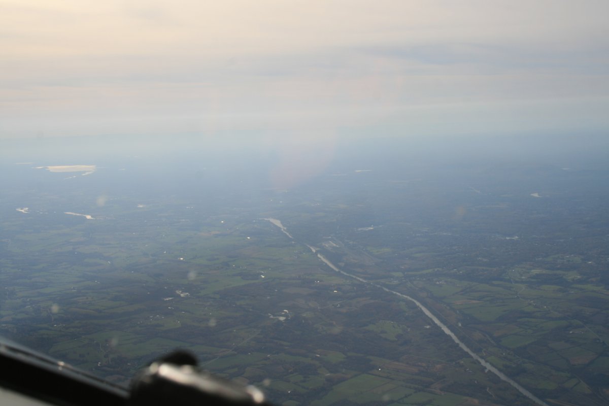
The drawback to being high like this is that it is boring. The sky was all hazy and after what I had seen all day, what I was seeing now was nothing.
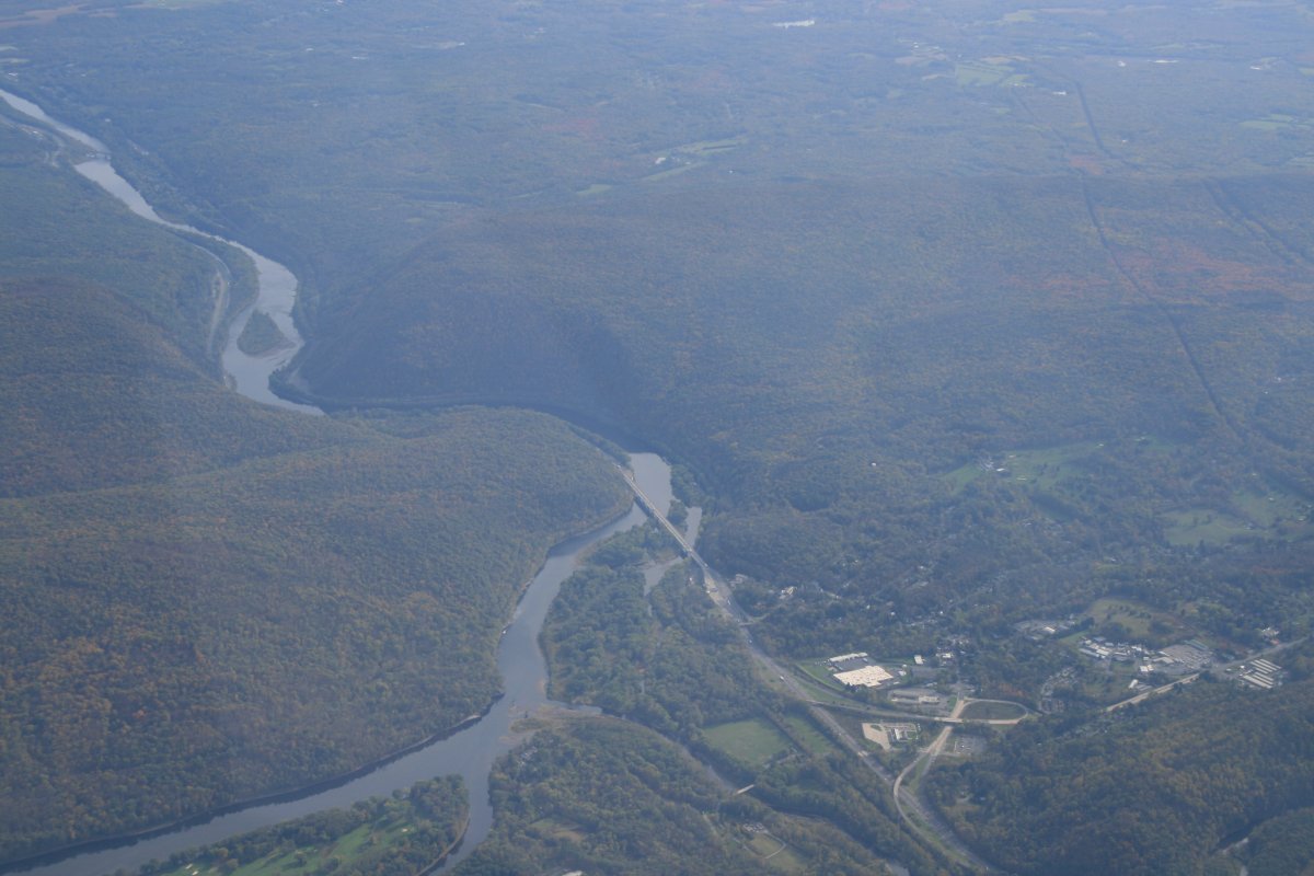
Here I'm looking down at the Lake Champlain canal which runs from Fort Edward (where I had turned northwest to Lake George) to Whitehall at the bottom tip of Lake Champlain.
|
| |
 |
|
|
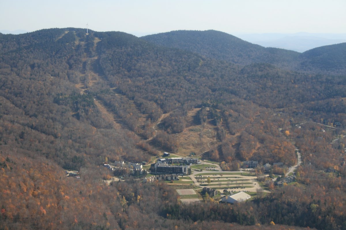
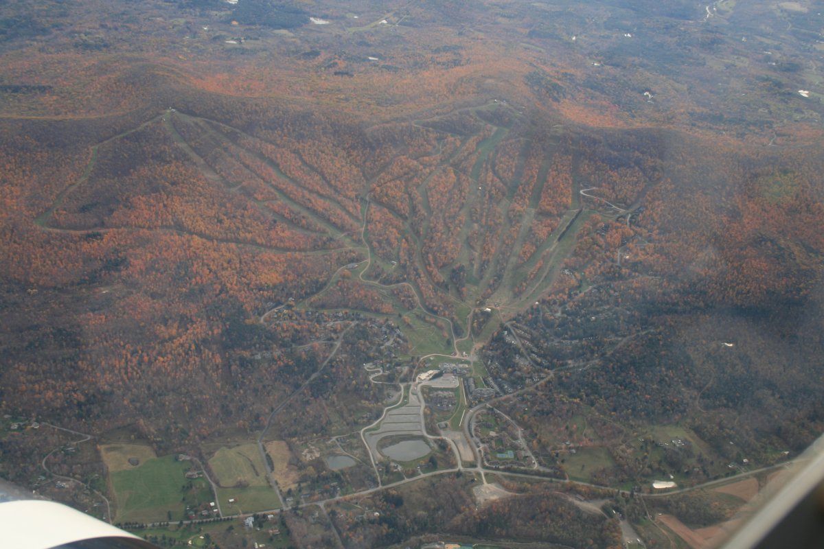
Big ski resort.
|
| |
 |
|
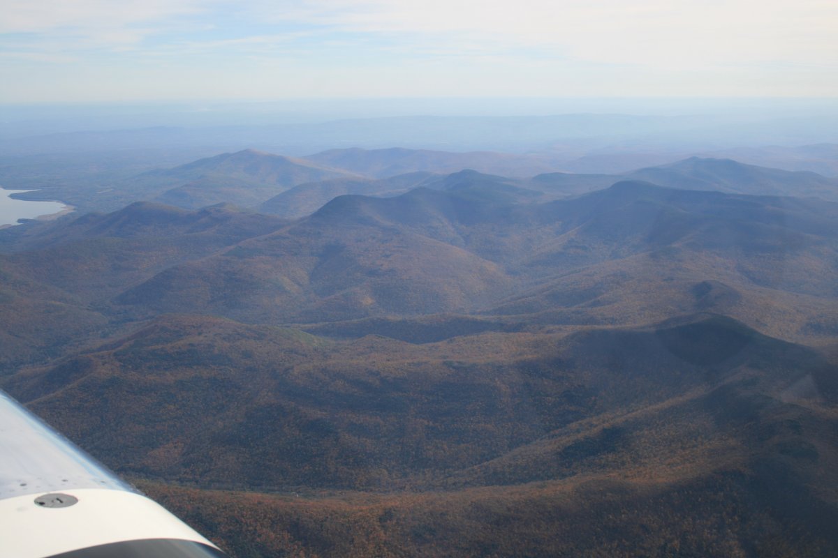
| It's amazing how remote and rugged the Slide Mountain Wilderness is, not that far to the north from New York City. |
| |
 |
|
|
The (used to be) famous Delaware Water Gap.
|
| |
 |
|
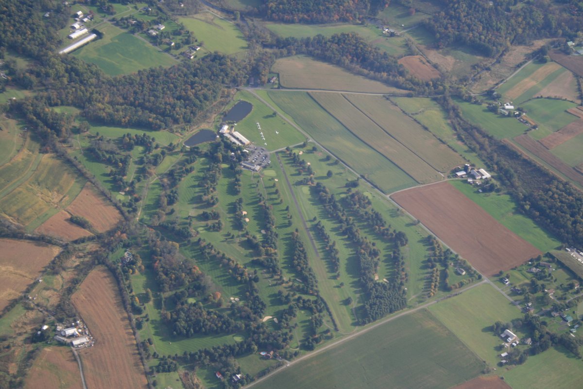
| Looking down at the Butter Valley Golf Port Airport in Bally, Pennsylvania. The runway cuts right through the golf course! There are ten or so airplanes on the grass ramp. You can get breakfast or lunch in the golf clubhouse. |
| |
 |
|
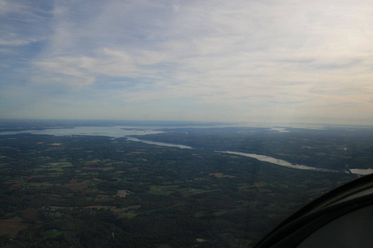
| Almost home. About to cross the Susquehanna, with the Chesapeake Bay visible in the upper left. I'm descending from altitude and making good speed. I'll be on deck at Essex Skypark in less than 15 minutes. Great trip! I flew 6.5 hours today. |
| |
 |
|
| |
| |
| |
|
|
|
|
|
|